
Hidden in the heart of North Carolina’s Black Mountains lies a trail that whispers history and invites adventurers into a world of natural beauty: the Old Mt Mitchell Toll Road. Once a bustling pathway for motor vehicles traveling to the summit of Mount Mitchell—the highest peak east of the Mississippi River—this old toll road is now a peaceful and scenic hiking route that rewards those willing to take the journey.
Whether you’re a seasoned hiker looking for a new challenge or a curious traveler seeking solitude in nature, hiking Old Mt Mitchell Toll Road offers a unique blend of rich history, lush forests, and stunning vistas. This guide will help you prepare for the experience, understand the trail’s significance, and make the most of your hike.
A Brief History of the Old Mt Mitchell Toll Road
Originally opened in the early 1920s, the Old Mt Mitchell Toll Road was the first route allowing cars to access Mount Mitchell. Before the construction of the Blue Ridge Parkway and modern highways, this toll road was the primary means for tourists to reach the summit. Operated as a private venture, it attracted early adventurers and nature lovers eager to stand atop the East Coast’s highest peak.
Eventually, as newer and more efficient roads were developed, the toll road was abandoned for vehicular traffic. Over time, nature reclaimed the path, transforming it into a scenic and historic trail for hikers and mountain bikers.
Trail Overview
The Old Mt Mitchell Toll Road trail is approximately 4.5 miles long (one-way), stretching from Stepps Gap near Mount Mitchell State Park down to State Highway 694 near Asheville. However, most hikers choose to do portions of the trail rather than the full route, as it can be steep and strenuous in certain sections.
Key Features:
- Length: 4.5 miles (one-way)
- Elevation Gain: ~2,500 feet
- Difficulty: Moderate to Strenuous
- Trail Type: Out and back or shuttle (if doing one-way)
- Best Time to Hike: Late spring through early fall
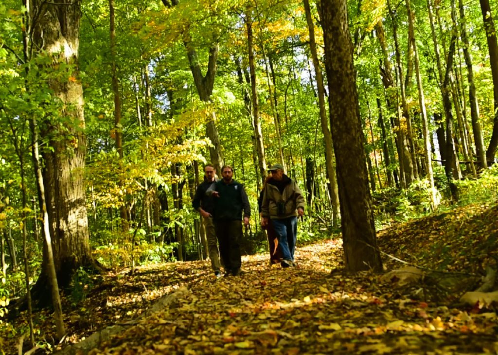
The route is primarily shaded by thick hardwood and coniferous forests, offering cool temperatures even in the summer. Along the way, hikers encounter wildflowers, mossy boulders, babbling brooks, and occasional views of distant mountain ridges.
What to Expect on the Trail

Hiking Old Mt Mitchell Toll Road is more than just a walk in the woods—it’s a journey through elevation, ecology, and time. Here’s what you can expect:
1. A Gradual Descent or Ascent
Depending on your starting point, you’ll either be descending from the high elevations of Mt Mitchell State Park or ascending from below. Starting from Stepps Gap allows you to hike mostly downhill, making it easier for those looking to avoid a strenuous climb.
2. Trail Conditions
The trail follows the old roadbed, which is wide but can be rough, rocky, and muddy in places. Watch out for fallen branches, washed-out sections, and slippery moss-covered rocks, especially after rainfall.
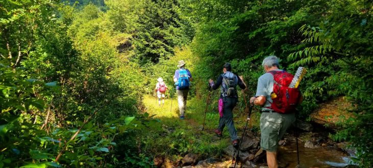
3. Peace and Solitude
Unlike the crowded summit trails, this route sees far fewer hikers. It’s common to walk for miles without encountering another person, making it ideal for introspection, photography, or simply enjoying the sounds of the forest.
4. Wildlife and Flora
Keep your eyes open for deer, wild turkeys, and a variety of birds. Spring and summer bring a burst of rhododendron, mountain laurel, and other native wildflowers, painting the trail with color.
Preparing for Your Hike
To enjoy hiking Old Mt Mitchell Toll Road safely and comfortably, consider the following tips:
1. Plan Your Route
Decide whether you’ll do a round-trip hike, a one-way descent with a shuttle pickup, or connect it with other trails in the area. Bringing two cars or arranging a drop-off/pickup can make logistics easier.
2. Bring the Essentials
- Sturdy hiking boots or trail shoes
- Plenty of water (there are few reliable water sources)
- Snacks or a packed lunch
- Navigation tools (GPS or a trail map)
- A light rain jacket or windbreaker
- First-aid basics
3. Check the Weather
Mt Mitchell’s weather can change rapidly, with cooler temperatures and more precipitation than the surrounding lowlands. Always check the forecast before heading out.
4. Leave No Trace
This historic trail deserves respect. Pack out everything you bring in, stick to the main path, and avoid disturbing plants or wildlife.
How to Get There

The most common access points are:
- Stepps Gap Trailhead: Located near the park office of Mount Mitchell State Park. From the Blue Ridge Parkway, take NC-128 to the park entrance.
- Lower Trailhead: Located near Highway 694 (Town Mountain Road) outside of Asheville.
You can choose either point as a starting location, depending on whether you prefer to hike uphill or downhill.
Final Thoughts
Hiking Old Mt Mitchell Toll Road is a journey that combines the best of Appalachian beauty with a fascinating glimpse into the past. It’s not just a trail—it’s a living piece of North Carolina history that offers adventure, reflection, and an unmatched connection to the mountains.
Whether you’re seeking solitude, a workout, or a quiet way to connect with nature, this forgotten road is a trail worth walking.